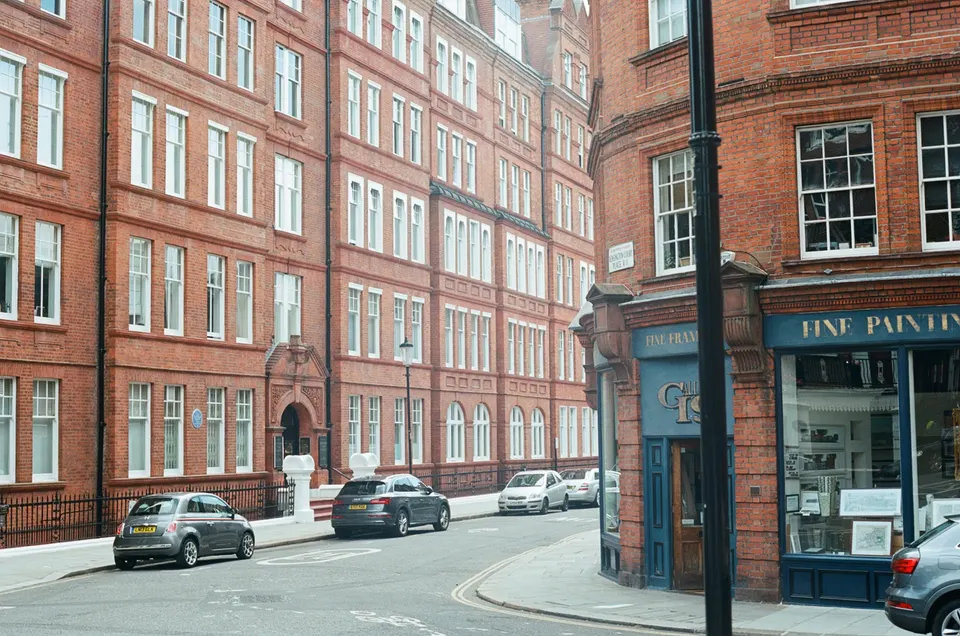
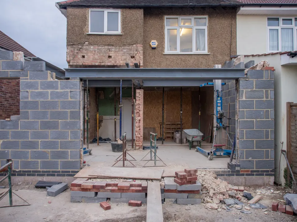
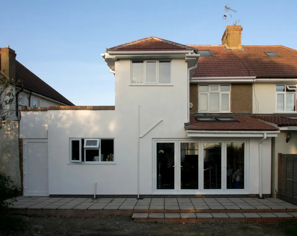
Existing and proposed, overlaid
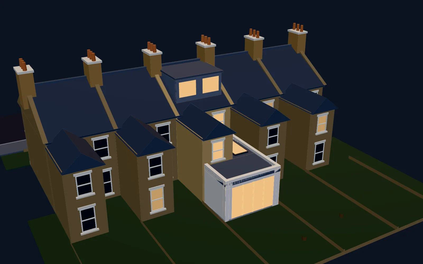
In the model: The terrace elevation appears twice, one outline for the house as it stands and one over it for the proposal, so every change shows as a difference.
A householder planning set is a short stack of drawings: location and block plans, then existing and proposed plans and elevations side by side. Drawings4Planning’s chartered architectural technologists prepare yours for any of the 33 London boroughs, from £479 for the drawings plus the £150 survey, £629 in total, no VAT to add, with the drawings following about a week after the survey.
A householder planning set has two groups of sheets. The site group is the location plan and the block plan. The house group is the existing and proposed floor plans and elevations, with a section or roof plan where the roof or the levels change. Together they give the case officer a fixed record to hold your proposal against.
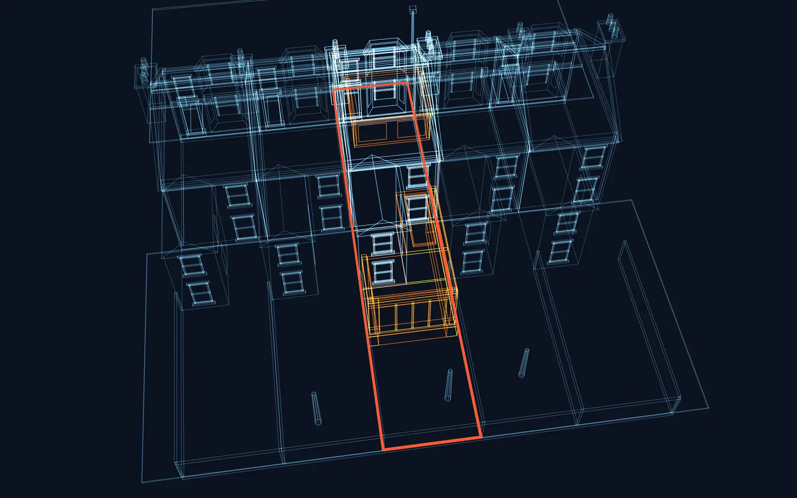
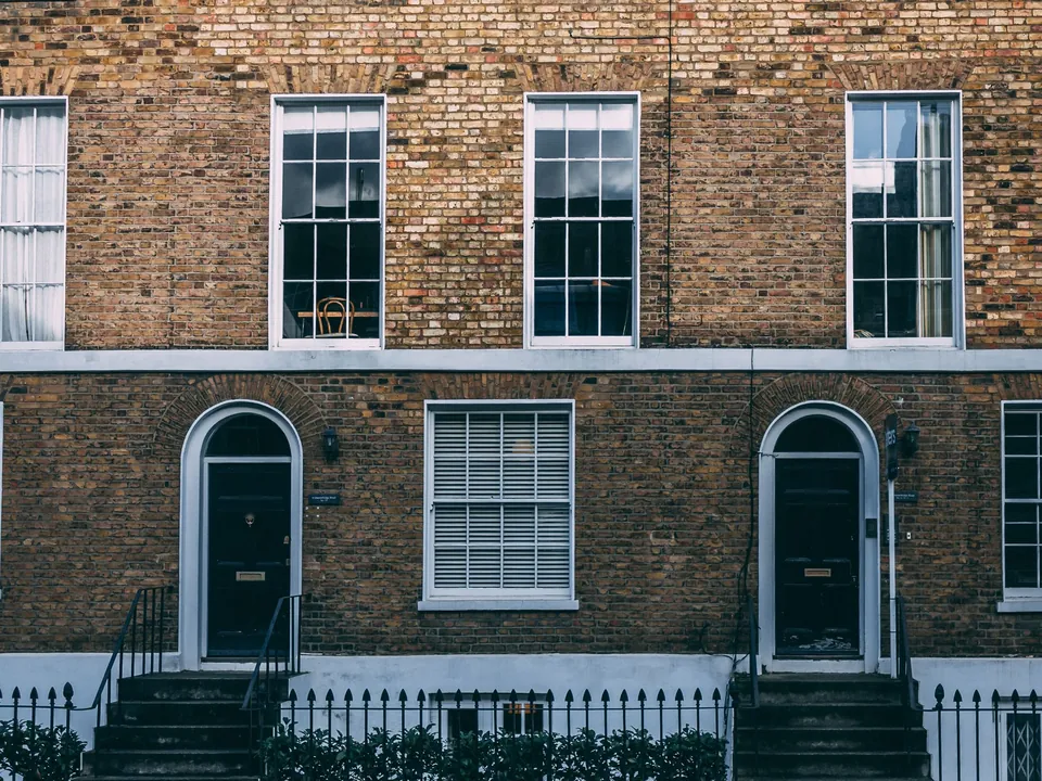
Illustrative Victorian terrace, drawn as a blueprint hologram
In the model: The terrace elevation appears twice, one outline for the house as it stands and one over it for the proposal, so every change shows as a difference.
In the model: A red line closes around one plot of the terrace and marks the land the application covers.
In the model: From the middle of a neighbouring window, a 45° line fans across the plan to test the proposed extension.
In the model: The overlays lift off and settle into a stack of drawing sheets, site plans on top, house plans and elevations below.
The location plan answers one question for the officer: which land is this? It sits on a map of the surrounding streets, with the application site outlined in red, and the red line takes in all the land the work needs, including any access from the road. The block plan zooms in on the plot and shows the house, the proposed work, the boundaries and the neighbouring buildings.
The block plan is drawn from the measured survey, so its boundaries and dimensions come from measurement. The pair costs £39 on its own and is free inside every planning package.
Existing drawings are the baseline that every proposal is judged against. A floor plan for each storey shows walls, openings, stairs and room sizes as measured, and the elevations show each outside face with its windows, doors, roof line and chimneys.
An error here carries into every sheet that follows, which is why these drawings come from the survey and why the person who checks the set is never the person who drew it.
The proposed sheets repeat the existing views after the work, in the same layout and at the same scale, so an officer can hold one beside the other. Where an extension reaches towards a neighbour’s window, the plan carries the 45° line from that window. A proposed set can carry:
The sheets stay broadly the same whichever route your address allows, but what the council expects around them changes. Permitted development needs no planning application, and a Lawful Development Certificate, which is optional, asks the council to confirm in writing that the work is lawful. Householder planning permission covers house alterations that fall outside those rights.
Three things can change the route: flats sit outside the Part 1 rights that houses enjoy, conservation areas and Article 4 directions can narrow or remove them, and a listed house needs listed building consent for alterations that affect its character.
A set that omits an item on the council’s validation list can be sent back as invalid. So a different chartered technologist from the one who drew the set reads every sheet against the checklist your council uses, and a senior reviewer signs the set off before we submit through the Planning Portal.
If the case officer wants amendments, we amend the sheets within five working days and you pay no more for redraws until approval. A decision, and when it arrives, is the council’s alone, so we promise neither.
We look up listing, conservation area, Article 4 direction, tree protection, flood zone and earlier applications. That settles the route and the fee.
We measure the house and plot, including the windows next door, so the existing sheets and block plan rest on real dimensions.
You see layouts in 3D and plan, with precedents from your street, and choose one in writing. The proposed sheets follow it.
A second chartered technologist checks every sheet, a senior reviewer signs off, and we submit with the forms and certificates. You pay the council’s fee to the council.
Amendments the case officer asks for go back to the council within five working days.
| Location and block plans | £39 (free inside every planning package) |
|---|---|
| Amendment to an approval (non-material or minor material) | £269 |
| Discharge of planning conditions (up to 3 conditions) | £309 |
| Householder planning appeal (written representations) | £409 |
| Prior approval for a larger home extension | £349 drawings + £150 survey (£499 total) |
| Permitted development drawings + Lawful Development Certificate | £389 drawings + £150 survey (£539 total) |
| Retrospective planning application | £439 drawings + £150 survey (£589 total) |
| Householder planning application drawings | £479 drawings + £150 survey (£629 total) |
| Change of use drawings | £609 drawings + £150 survey (£759 total) |
These are starting fees, no VAT to add. Packages run from £389 to £699 plus the £150 survey (£539 to £849 total) for permitted development with a certificate and from £479 to £1,139 plus the survey (£629 to £1,289 total) for planning. The measured survey, £150, is charged on top of the drawing fees that need it, and each total adds it. The council’s application fee is paid to the council. Listed building consent has no published row and is quoted as a fixed fee after the address check. The fees page lists every published row.
Both sheets are samples for an illustrative Victorian terrace house, not client work. The first sets the house today beside the house proposed, face by face. The second is the site plan: the red line, block plan and neighbouring buildings on one sheet.
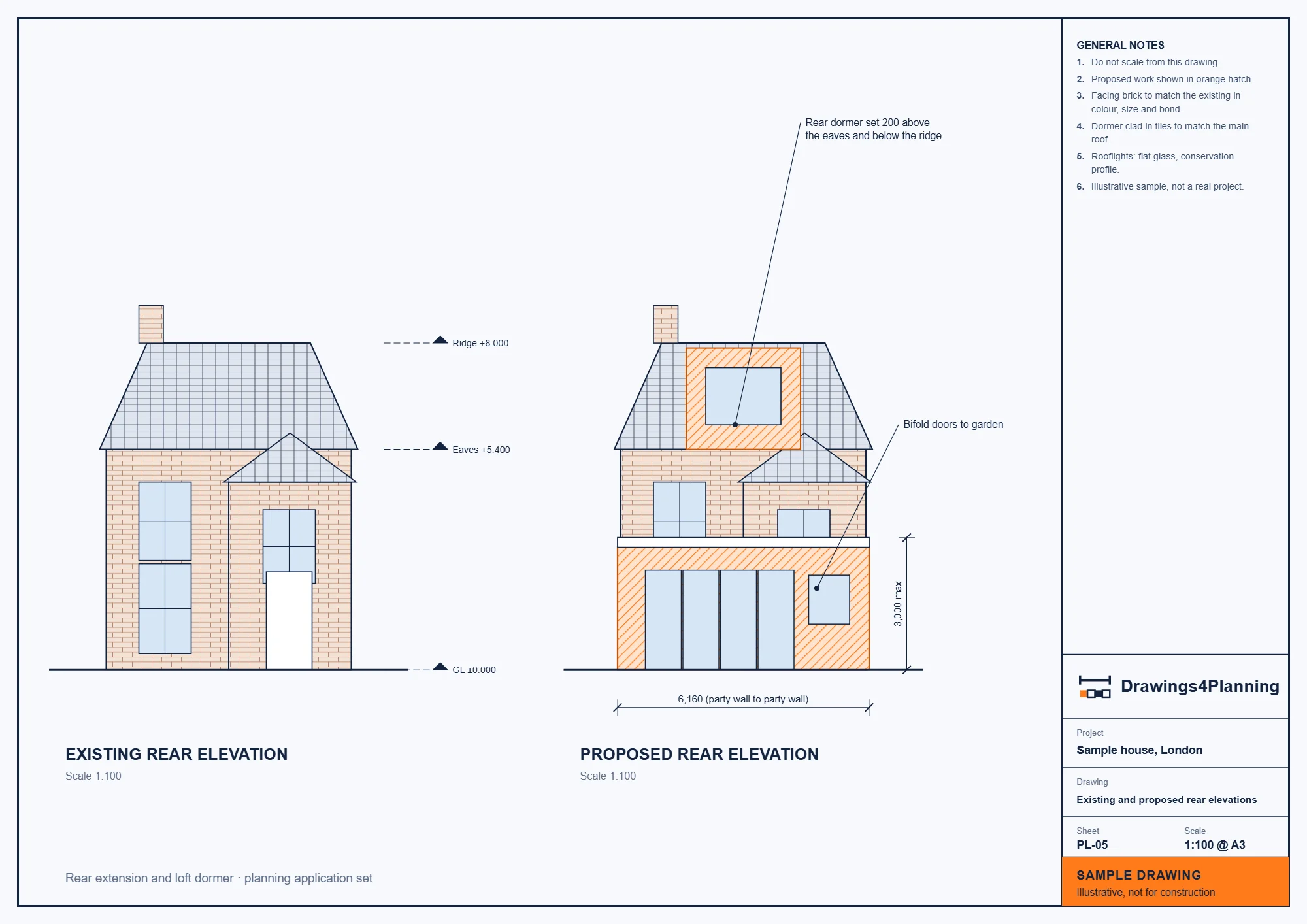
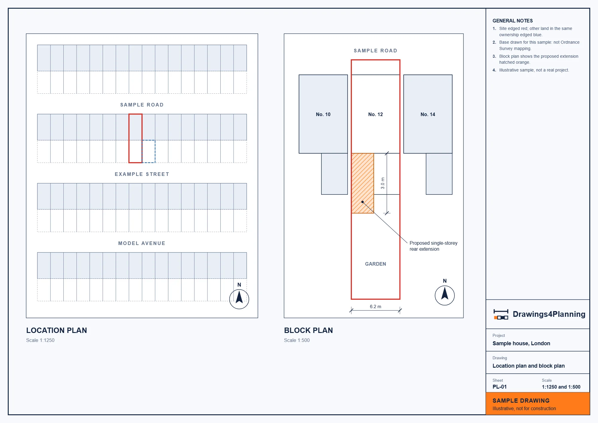
The location plan is typically drawn at 1:1250 or 1:2500, scaled to fit an A4 or A3 sheet where possible. Every other plan and elevation must be drawn to an identified scale, so each of our sheets uses a recognised metric scale. A council’s own validation list can ask for more, and we draw to the list of the council that will decide.
Source: Making an application (GOV.UK planning practice guidance)
The red line marks the application site and should include all the land needed to carry out the work, such as access from the road. A blue line marks any other land you own that adjoins or is close to the site. With no land of your own nearby, there is no blue line. A title plan sent with your enquiry helps us place both lines.
Source: Making an application (GOV.UK planning practice guidance)
Not usually. Planning drawings show the size, position and look of the work, while building control also needs the construction behind it: beams, foundations, insulation and drainage. Building regulations drawings from £479 plus the £150 survey (£629 total) and structural calculations from £379 supply that, coordinated with any conditions in the planning decision.
Sources: Building regulations approval on GOV.UK · The Building Regulations 2010
They are drawn alike but serve different tests. Planning drawings support an application for permission. Permitted development drawings show work that needs no planning application, and a Lawful Development Certificate, which is optional, asks the council to confirm in writing that the work is lawful. With the £150 survey, totals start at £539 with a certificate (£389 drawings) and £629 for householder planning (£479).
Sources: Lawful development certificates on GOV.UK · Permitted development rights: GPDO 2015, Schedule 2
Article 7 of the Development Management Procedure Order 2015 requires a plan that identifies the land, plus the other plans and drawings needed to describe the development. National guidance adds that plans must be drawn to an identified scale. The council’s local validation list can add more, which is why we read each set against the list of the council that will decide.
Sources: Development Management Procedure Order 2015, article 7 · Making an application (GOV.UK planning practice guidance)
Give us your postcode and a short description of what you want to build. We check the address, then send a fixed fee for the sheets your route needs, and if you write before 3pm on a working day, we reply that day.