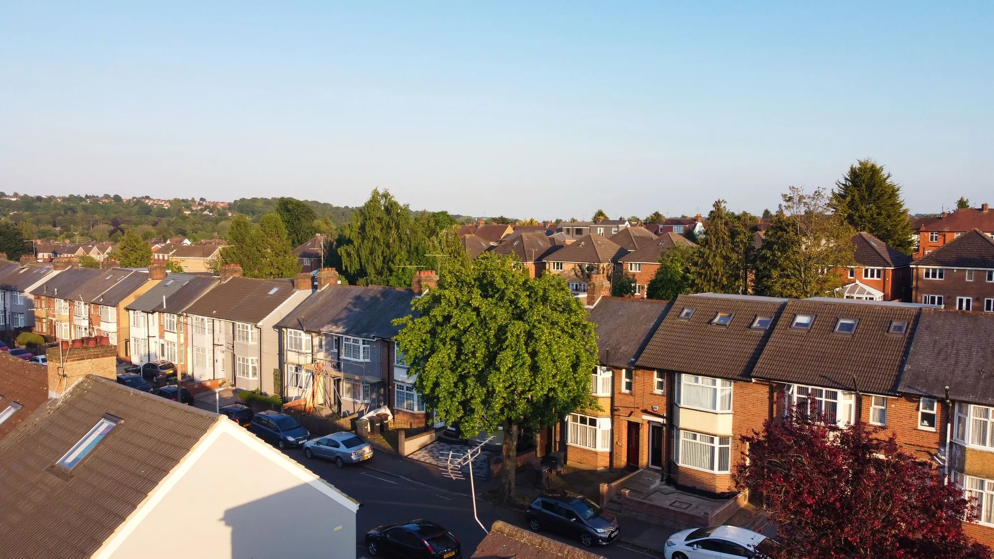
A planning constraints report for your address, from £19
Is the house in a conservation area? Listed? Under an Article 4 direction? Near a protected tree or a flood zone? One report answers the questions that change what you can build, and tells you where the data is not enough: from £19.
- From £19, no VAT to add
- Five checks on one page
- Gaps in the data flagged
What does a constraints report cost?
The report starts from £19, with no survey fee and no VAT to add. It covers one address and the five checks that most often change a planning route: conservation area, listing, Article 4, tree protection and flood zone. If your question needs more, such as a previous refusal to read in full, we say so and quote it before we begin.
What the £19 report covers
- Conservation area: whether the address is inside one, and which
- Listed buildings: whether the house, or a neighbour, is listed and might affect its setting
- Article 4 directions: whether permitted development rights have been withdrawn
- Tree preservation orders and flood zone for the address
- A one-page summary of what each result means for an extension, loft or conversion, and where a result is a “not found” rather than a “no”
Why five checks?
Because each one changes the route. In a conservation area, a rear extension is limited to 3 m (attached) or 4 m (detached) with no prior approval route to go further (technical guidance). An Article 4 direction can take permitted development away entirely. A listed house needs listed building consent, and a neighbour’s listing can touch your design through its setting. A protected tree changes where an extension can go. A flood zone can bring a flood risk assessment.
Checking all five before you spend on drawings starts at £19.
Why we flag gaps in the data
Because the national datasets say they have gaps. The conservation area, Article 4, listed building and tree preservation datasets each warn that they may not cover all of England, and listed building outlines are only indicative about curtilage (listed buildings, Article 4). A map that shows nothing is not proof of nothing.
So where a dataset is thin, we say so and tell you what to confirm with the council. A report that says “not found in the national data, confirm with the council” is more useful than a flat “no”.
- Found: the constraint applies, and here is what it means
- Not found: the national data shows nothing, with a note on how complete it is
- Check with the council: where data is known to be thin
What to do with the result
If the report is clean, the next step is usually planning drawings or a Lawful Development Certificate. If it finds a listing or a conservation area, a heritage statement will be needed. If you have not bought yet, the pre-purchase report goes further. If the address is in a flood zone, see flood risk assessments.
Where the data comes from, and its limits
- OGL v3.0
- The conservation area, listed building, tree preservation and Article 4 datasets are published under the Open Government Licence v3.0. planning.data.gov.uk, Conservation area
- Incomplete
- The conservation area dataset warns that it may be incomplete and not yet cover all of England. planning.data.gov.uk, Conservation area
- Indicative
- Listed building outlines do not consistently show curtilages, so they are only an indicative guide and further checks are needed. planning.data.gov.uk, Listed building outline
- Article 4
- The Article 4 direction area dataset also warns it may be incomplete and not cover all of England. planning.data.gov.uk, Article 4 direction areas
- TPO
- The tree preservation zone dataset likewise carries a warning that it may be incomplete. planning.data.gov.uk, Tree preservation zone
- 3 m / 4 m
- On conservation-area land a single-storey rear extension is limited to 3 m on an attached house and 4 m on a detached one. MHCLG permitted development technical guidance, Class A, p.17
- Zone 2 or 3
- A flood risk assessment is needed for development in Flood Zone 2 or 3, and in Zone 1 on a site of 1 hectare or more. gov.uk, Flood risk assessment for planning applications
Constraints report questions
Is the £19 a fixed fee?
It is the starting fee for one address. We confirm the final figure once we have the address.
Can you guarantee there is no constraint?
No. The national datasets are incomplete by their own account, so we tell you what was found, what was not, and what to confirm with the council.
Does the report say if I can build?
It says which constraints apply and what each does to the route. Whether a particular scheme is acceptable is a separate question.
Will you check the neighbour’s listing?
We check listed buildings near the address. Listed outlines do not always show curtilage, so we note where that matters.
Do you charge a survey for it?
No. It is a desk check with no survey.
Other services people book with this one
Check an address before you commit
Send the address and what you hope to build. We reply with a fixed fee and the report.