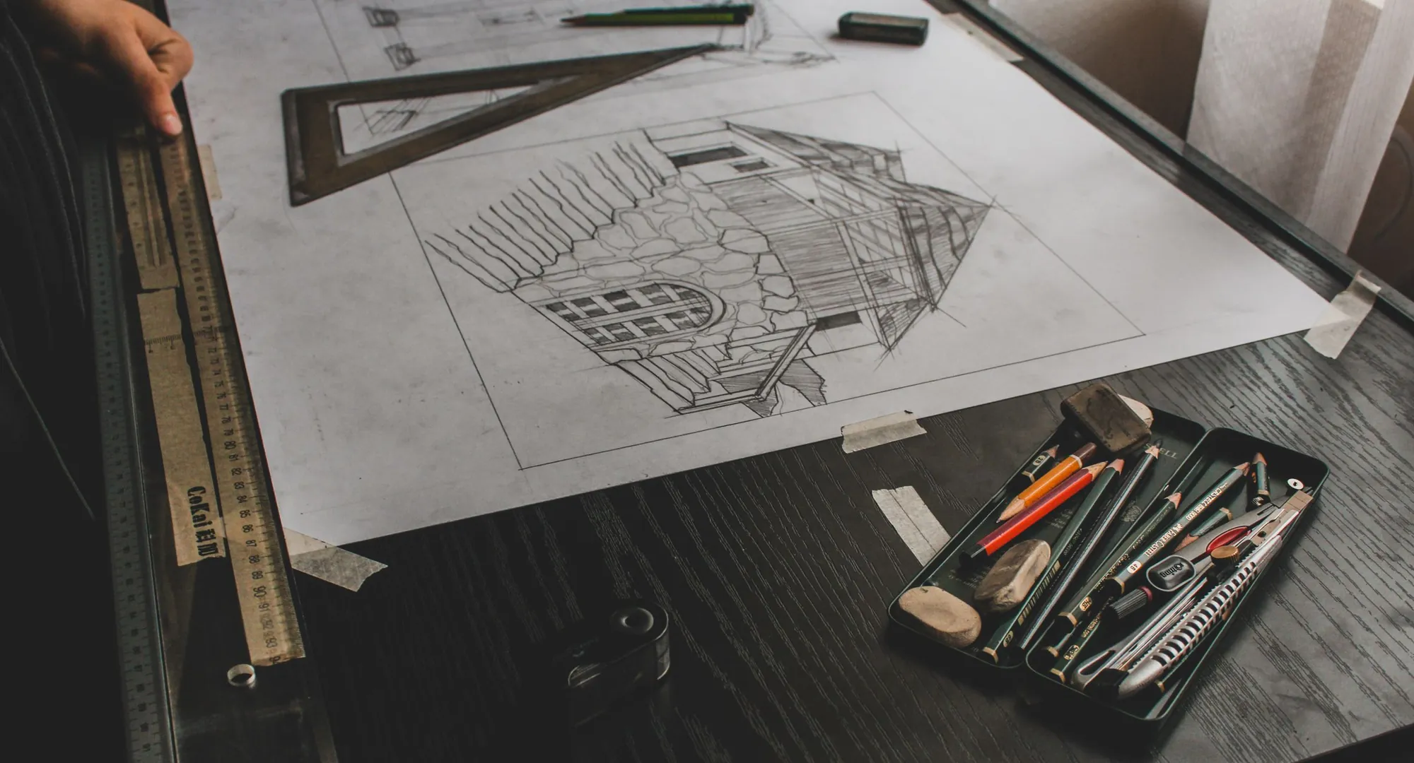
Turn old plans into CAD drawings, £179 for up to 4 sheets
A folded set from the 1990s, a scanned PDF from the last owner, a hand sketch. We redraw them as clean CAD at a true scale, so the next stage of design can start from something you can measure from: £179 for up to four sheets.
- £179 for up to 4 sheets
- DWG and PDF returned
- Free corrections
What does CAD conversion cost?
The fee is £179 for up to four sheets, with no survey fee and no VAT to add. We redraw what is on the paper, at a stated scale, in a layered CAD file, and return a DWG and a PDF. We do not measure the building, so the result is only as accurate as the original. If you need measured plans, that is a survey.
This report is written up in full on our sister site propertyarchitecture.co.uk. Our fixed fee below still applies if you order through us. Read it on propertyarchitecture.co.uk.
What the £179 covers
- Your plans, sections and elevations (up to four sheets) redrawn in CAD at a true scale
- Layers for walls, openings, dimensions, text and furniture, so the file can be used and changed
- North point, scale bar and a title block added where the original had none
- A note of anything illegible, inconsistent or missing on the original, so you know where the doubt is
- A DWG and a PDF, with free corrections if we have copied something wrongly
Why not just send the PDF?
A planning officer cannot measure from a scan. Plans with an application have to be drawn to an identified scale and show north (article 7), and a scanned plan that has been photocopied a few times is rarely at a true scale. Builders and engineers also want to draw on top of your plan, which they can only do from CAD.
We set the scale from a dimension that is reliable on the paper, redraw every line and check the result against the original. Where the paper contradicts itself, we say so.
What conversion cannot do
It cannot make an old plan more accurate. If a wall was drawn 200 mm out in 1994, it is 200 mm out in the CAD too. For plans going to a council as the “existing” drawings, a measured building survey is the safer base, because the officer will judge limits from it, such as the 50% limit on the land around the original house (technical guidance).
- Good for: a sale, a lease plan, a first design sketch, a builder’s rough price
- Not good for: a planning application on its own, or building regulations details
- Better with: a survey, if the work is going to the council
What happens next
Many people convert old plans, then add a survey for the areas that matter. From there, floor plans or full planning drawings follow. If you want a layout rethought, see interior layout and space planning.
What the council expects of a plan
- Identified scale
- Plans and drawings submitted with a planning application must be drawn to an identified scale. Development Management Procedure Order 2015, article 7(2)
- North
- They must also show the direction of north. Development Management Procedure Order 2015, article 7(2)
- 1:1250 or 1:2500
- The location plan is typically drawn at 1:1250 or 1:2500, with the site outlined in red. gov.uk, Making an application
- Original house
- The “original” house is the building as it existed on 1 July 1948, or as built if later, which is why old plans can matter for permitted development. MHCLG permitted development technical guidance, p.6
- Local list
- Local information requirements affect whether an application is valid only if they are on a formally adopted list published within the last two years. gov.uk, Making an application
- 50%
- Extensions built since count against the 50% limit on the land around the original house. MHCLG permitted development technical guidance, Class A, p.10
CAD conversion questions
What files can you work from?
Scans, PDFs, photographs of plans and hand sketches. A scan with a stated scale or a known dimension works well.
What do I get back?
A DWG and a PDF, in layers, at a stated scale.
Are converted plans good enough for planning?
Not on their own, if the originals are old or unmeasured. Councils judge limits from the existing drawings, so we usually recommend a survey.
Source: Development Management Procedure Order 2015, article 7
What if I have more than four sheets?
We quote the extra sheets before we start. Four is the number covered by the £179.
Do you fix errors in the original?
No. We copy what is there and note where it seems wrong. Correcting it needs measurement.
Other services people book with this one
Have old plans to convert?
Send a scan or photo and tell us what they are for. We reply with a fixed fee.