- Written by
- The Drawings4Planning technical teamChartered architectural technologists (MCIAT)
- Published
- Updated
- Reading time
- 3 min
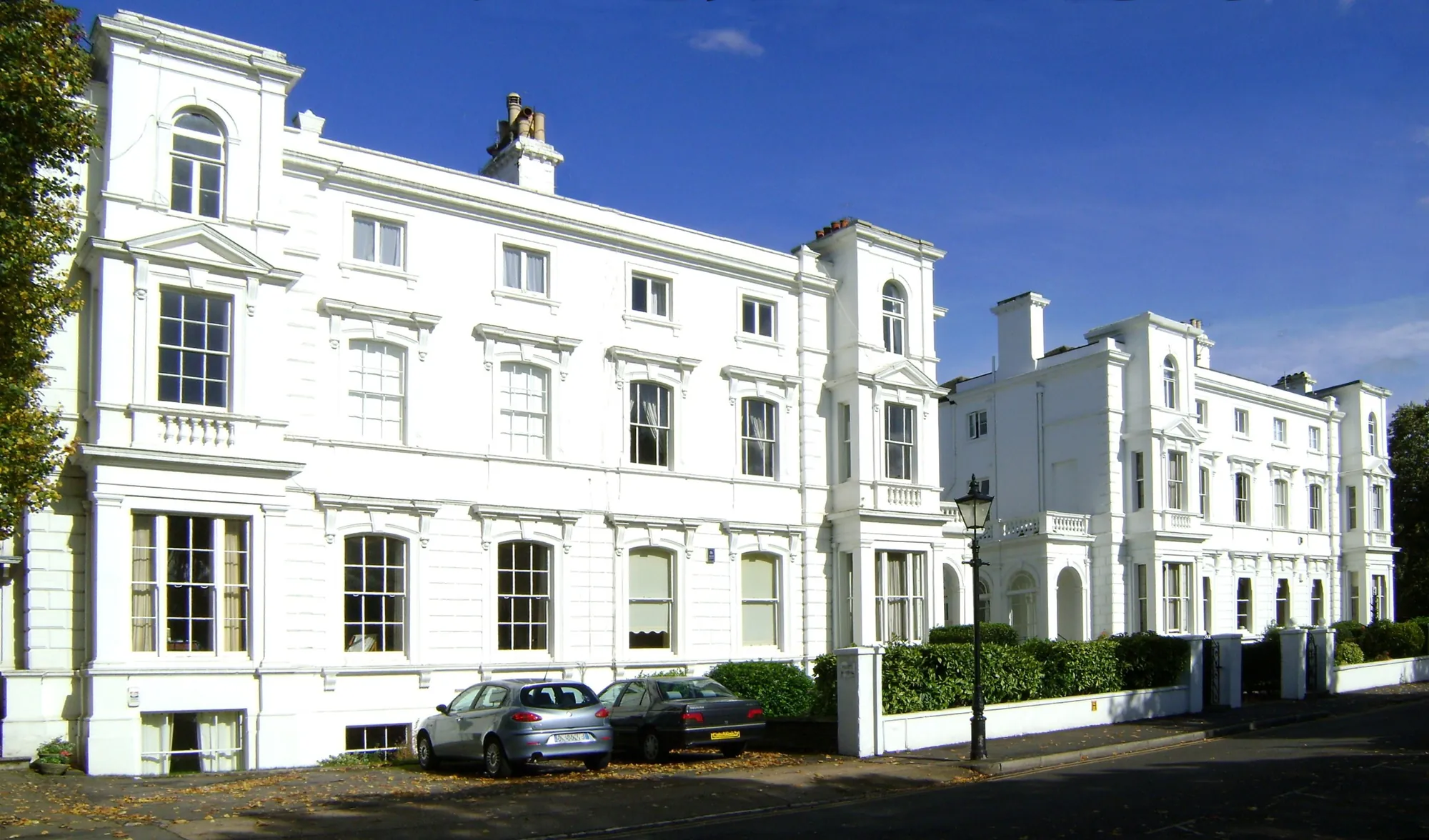
Tall Victorian brick houses with bay windows facing Richmond Green, south-west London. Photo: Maxwell Hamilton, CC BY 2.0, via Wikimedia Commons.
What does the £19 check?
Five things for one address. Whether it is inside a conservation area, and which. Whether the house, or a neighbour, is listed and might affect its setting. Whether an Article 4 direction has withdrawn permitted development rights. Whether trees are protected. And the flood zone.
You get a one-page summary of what each result means for an extension, loft or conversion, and where a result is a “not found” rather than a “no”. It is the first check to make before deciding what to draw.
| Five checks on one address and a one-page summary paid to us | £19 |
|---|---|
| Total | £19 |
From £19 to Drawings4Planning. If your question needs more, we say so before you pay.
Why is “not found” not the same as “no”?
Because the national datasets are incomplete. The conservation area dataset warns that it may not yet cover all of England (planning.data.gov.uk); the Article 4 dataset (source) and the tree preservation zone dataset (source) carry the same warning. Listed building outlines do not consistently show curtilages, so they are only an indicative guide (source).
So a clean result is a good sign but not proof. The report says which of its answers are firm and which need a call to the council, and we make that call when you move to drawings.
What do the results change?
A great deal. On conservation area land a single-storey rear extension is limited to 3 m on an attached house and 4 m on a detached one, with no prior approval route to go further (MHCLG technical guidance). Article 4 and listing can remove rights altogether.
Flood risk is the fifth check: an assessment is needed for development in Flood Zone 2 or 3, and in Zone 1 on a site of 1 hectare or more (gov.uk). A tree preservation order changes what you can do near a tree.
What if you need more than £19 can give?
Then we say so. A previous refusal to read in full, a boundary question or a house with a long history needs more than five checks. The “can I extend?” report at £179 goes further, and a feasibility study at £449 draws the options.
If the report is the first step in a job with us, it is a low-cost way to find out whether the job is worth starting.
Where the figures come from
- Incomplete
- The conservation area dataset may not yet cover all of England. planning.data.gov.uk, Conservation area
- Article 4
- The Article 4 direction area dataset also warns it may be incomplete. planning.data.gov.uk, Article 4 direction areas
- TPO
- The tree preservation zone dataset likewise carries a warning that it may be incomplete. planning.data.gov.uk, Tree preservation zone
- Indicative
- Listed building outlines do not consistently show curtilages and are only an indicative guide. planning.data.gov.uk, Listed building outline
- 3 m / 4 m
- On conservation area land a single-storey rear extension is limited to 3 m attached or 4 m detached. MHCLG permitted development technical guidance, Class A
- Zone 2 or 3
- A flood risk assessment is needed for development in Flood Zone 2 or 3. gov.uk, Flood risk assessment for planning applications
Constraints report cost questions
Is the report a legal search?
No. It is a planning screen based on published data and our checks. It does not replace a solicitor’s searches or a council’s written confirmation.
Can I get it for several addresses?
Yes. Send the list and we confirm the total before you pay.
Does the £19 come off the drawings fee?
No, it is a separate fixed fee. Its use is to tell you whether the drawings are worth ordering.
How up to date is the data?
It is as current as the published datasets and the council’s records on the day we check. The report states the date.
Full details of the service: Planning constraints report.