- Written by
- The Drawings4Planning technical teamChartered architectural technologists (MCIAT)
- Published
- Updated
- Reading time
- 3 min
- Topic
- Planning permission
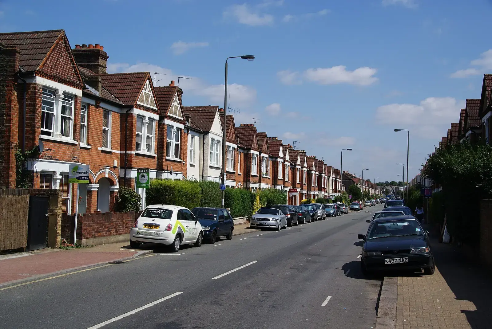
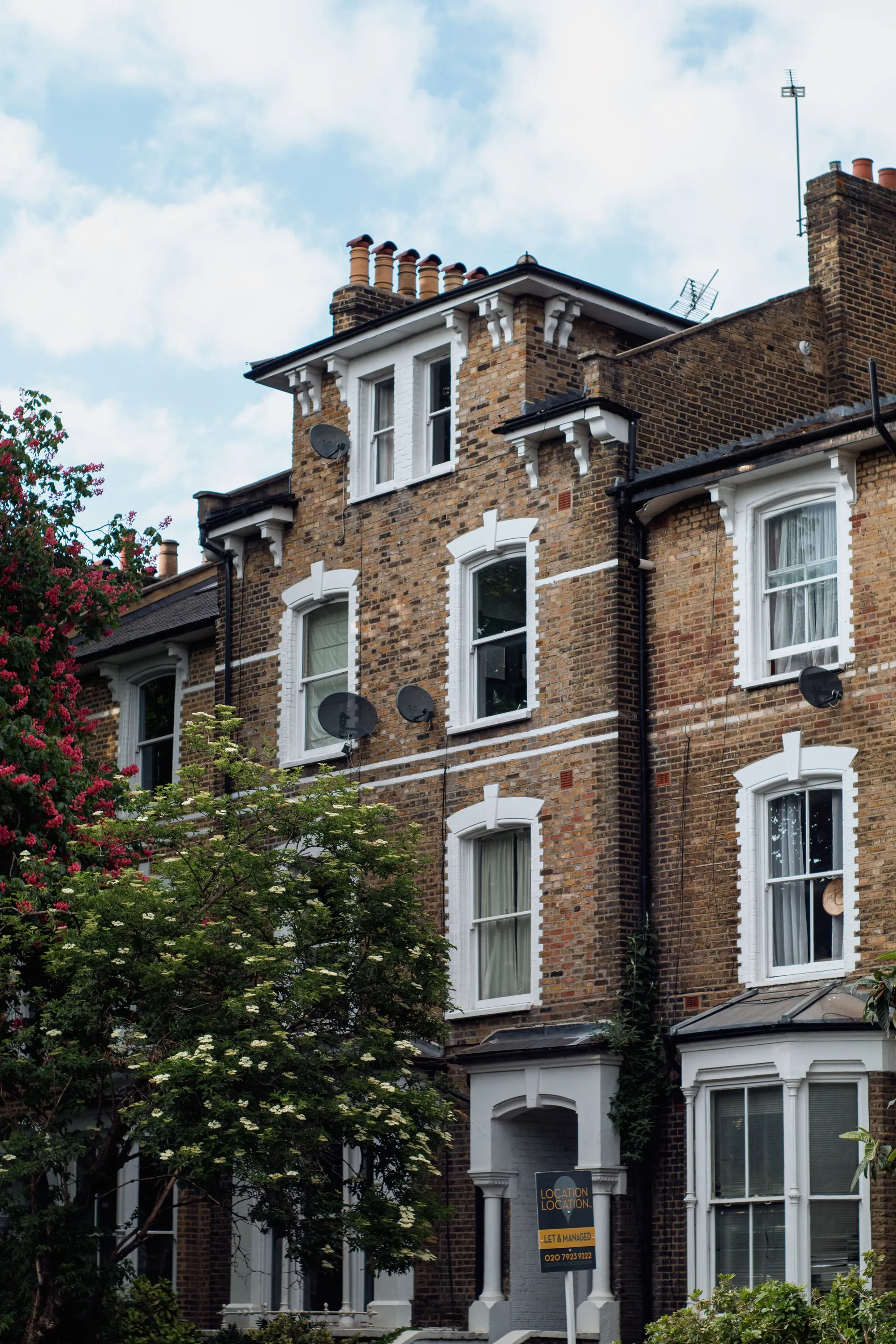
Long street of red-brick Edwardian houses with gables and bay windows, one with a letting board outside, cars parked along the kerb. Photo: Bill Boaden, CC BY-SA 2.0.
What do you get from £39?
Two plans the council needs before it will read anything else. A location plan, based on an up-to-date map, shows where the site is among roads and buildings, with the site edged in red and any other land you own in blue. A block plan shows the building on its plot and its relation to the boundaries.
The price starts at £39 and we confirm the figure for your site. If we are drawing your planning set as well, the two plans are included in it and you pay nothing extra.
| Location plan and block plan for one site paid to us | £39 |
|---|---|
| Total | £39 |
From £39 to Drawings4Planning. Included free in a planning application set that we draw.
What makes a location plan valid?
The guidance asks for an up-to-date map, typically at 1:1250 or 1:2500 and where possible scaled to fit A4 or A3, with enough roads or buildings around the site to identify it exactly. The site is edged clearly in red and includes all land needed for the development, such as access from the highway, visibility splays and parking (gov.uk).
A blue line goes round any other land you own close to or adjoining the site. Getting the red line wrong is the commonest reason these plans are returned.
Why does the ownership certificate matter?
Because the application is not valid without it. An application is not valid, and so cannot be determined, unless the relevant ownership certificate has been completed, and it is an offence to complete a false or misleading certificate, knowingly or recklessly, with a maximum fine of £5,000 (gov.uk).
The red and blue lines decide which certificate applies, so the lines have to be right before the certificate is signed.
Do the other drawings need a scale too?
Yes. Any plans or drawings required with an application must be drawn to an identified scale and, in the case of plans, must show the direction of north (DMPO 2015, art 7).
The block plan is where the extension is shown against the boundaries, so it is the sheet the officer measures first.
Where the figures come from
- 1:1250 or 1:2500
- A location plan should typically be at one of these scales, and wherever possible fit A4 or A3. gov.uk, Making an application
- Red line
- The application site is edged clearly in red, including all land needed for the development. gov.uk, Making an application
- Blue line
- A blue line goes round any other land owned by the applicant close to or adjoining the site. gov.uk, Making an application
- Not valid
- An application is not valid unless the relevant ownership certificate has been completed. gov.uk, Making an application
- £5,000
- The maximum fine for a false or misleading ownership certificate, knowingly or recklessly completed. gov.uk, Making an application
- Scale and north
- Plans must be drawn to an identified scale and show the direction of north. Development Management Procedure Order 2015, article 7
Location and block plan cost questions
Do I pay twice if I also order planning drawings?
No. The two plans are included in a planning set that we draw, so the £39 applies only when you order them on their own.
Do you buy the map for me?
We prepare the plans on an up-to-date map, as the guidance requires. If your site needs anything bought for that, we say so at the quote.
What if my house shares a drive with a neighbour?
The red line includes all land needed for the development, such as access. The shared land may belong to someone else, which affects the ownership certificate, and the plan makes that clear.
Source: gov.uk, Making an application
Why does the price start at £39 and not stay fixed?
A straightforward site is £39. A large site, an awkward boundary or a long access takes more drawing, and we confirm the figure before you pay.
Full details of the service: Location and block plans.