- Written by
- The Drawings4Planning technical teamChartered architectural technologists (MCIAT)
- Published
- Updated
- Reading time
- 3 min
- Topic
- Surveys and design
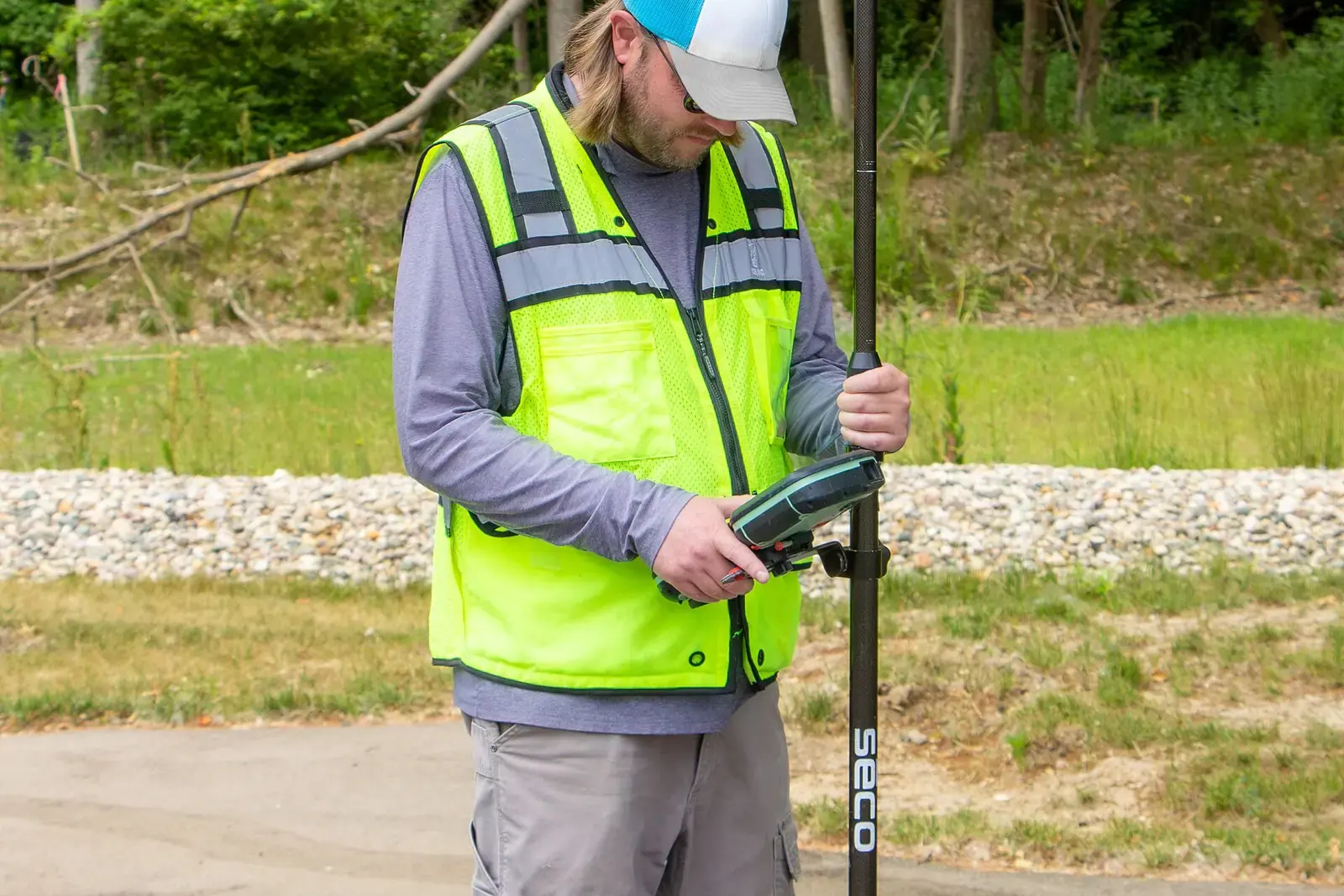
Surveyor in hi-visibility vest and cap holding a GNSS receiver pole and a handheld controller. Photo: SweetCanadianMullet, CC BY 4.0.
What do you get for £150?
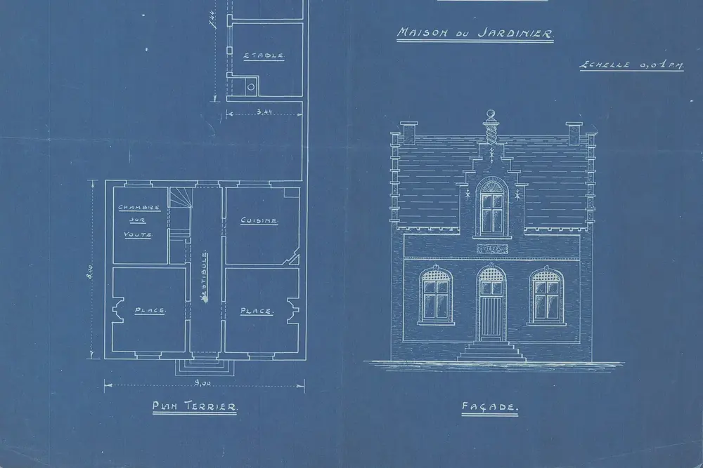
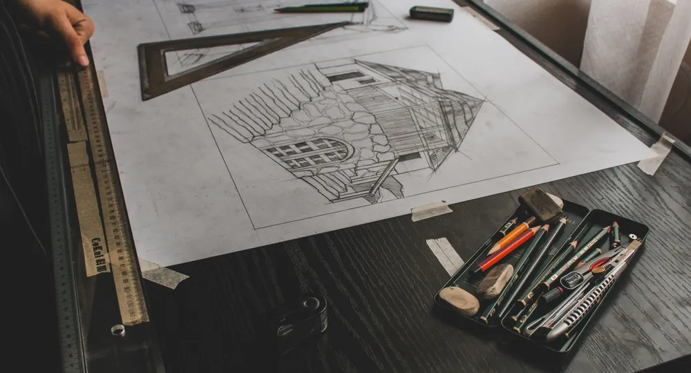
A technologist visits your property. We record every room, wall thickness, opening, stair and level, the roof where it can be reached, the garden and the boundaries, and photograph the rear, the sides and the neighbours’ windows. Back at the desk, we turn that into accurate plans of what exists.
You get the base for whatever follows. The £150 also sits inside the price of every drawing set we sell, which is why it is not added again when you order drawings.
| One measured visit to one property paid to us | £150 |
|---|---|
| Total | £150 |
Total £150 to Drawings4Planning. Charged once per property, whichever drawing sets you order.
Why is it charged once?
Because the house does not change between the planning set and the building regulations set. If you order planning drawings now and building regulations drawings later, the second set shows its drawings fee alone. Two sets for the same visit cost £150 for the survey, not £300.
It also means you can order the survey on its own and decide afterwards what to commission, knowing the £150 counts towards the drawings you choose.
Why measure the boundary so carefully?
Because small distances change the rules. An extension with any part within 2 m of the boundary has its eaves limited to 3 m under permitted development (MHCLG technical guidance), so 1.9 m and 2.1 m are different answers.
The limits are measured from the original house, the building as it existed on 1 July 1948 or as built if later. A survey that records what has been added since lets us count earlier work against the allowance.
When can you skip it?
If you already hold accurate, measured drawings of the house as it stands. Plans submitted with an application must be drawn to an identified scale and show north (DMPO 2015, art 7), and a building regulations application needs plans of what exists (gov.uk). Send them with your enquiry and we tell you whether they can stand in.
The location plan is separate: it is typically 1:1250 or 1:2500 with the site outlined in red and other land you own in blue (gov.uk), and is included in our planning set.
Where the figures come from
- To scale
- Plans with an application must be drawn to an identified scale and show north. Development Management Procedure Order 2015, article 7
- 1:1250 or 1:2500
- Typical scale of the location plan, with the site outlined in red. gov.uk, Making an application
- Blue line
- Other land the applicant owns next to the site is outlined in blue. gov.uk, Making an application
- 1 July 1948
- The original house means the building as it existed on 1 July 1948, or as built if later. MHCLG permitted development technical guidance
- 2 m
- Within 2 m of the boundary the eaves are limited to 3 m. MHCLG permitted development technical guidance, Class A
- 5 weeks
- Decision time for a full-plans building regulations application, or 2 months by agreement. gov.uk, How to apply for building regulations approval
Measured survey cost questions
Is the survey the same as a homebuyer’s survey?
No. A homebuyer’s survey reports on the condition of the building. Ours records its dimensions for drawings. We do not comment on defects.
How long does the visit take?
It depends on the size of the property. We confirm the time when we book it, and we need access to every room and the garden.
Do you survey flats and commercial units?
We survey flats and houses. For a commercial unit, send the details and we say whether it is something we can do.
What do I get if I only buy the survey?
Accurate plans of what exists, drawn from the visit. They are the same plans that start every drawing set.
Full details of the service: Measured building survey.